
High‑Resolution Geophysical Inversion Services
Land Gravity Surveys
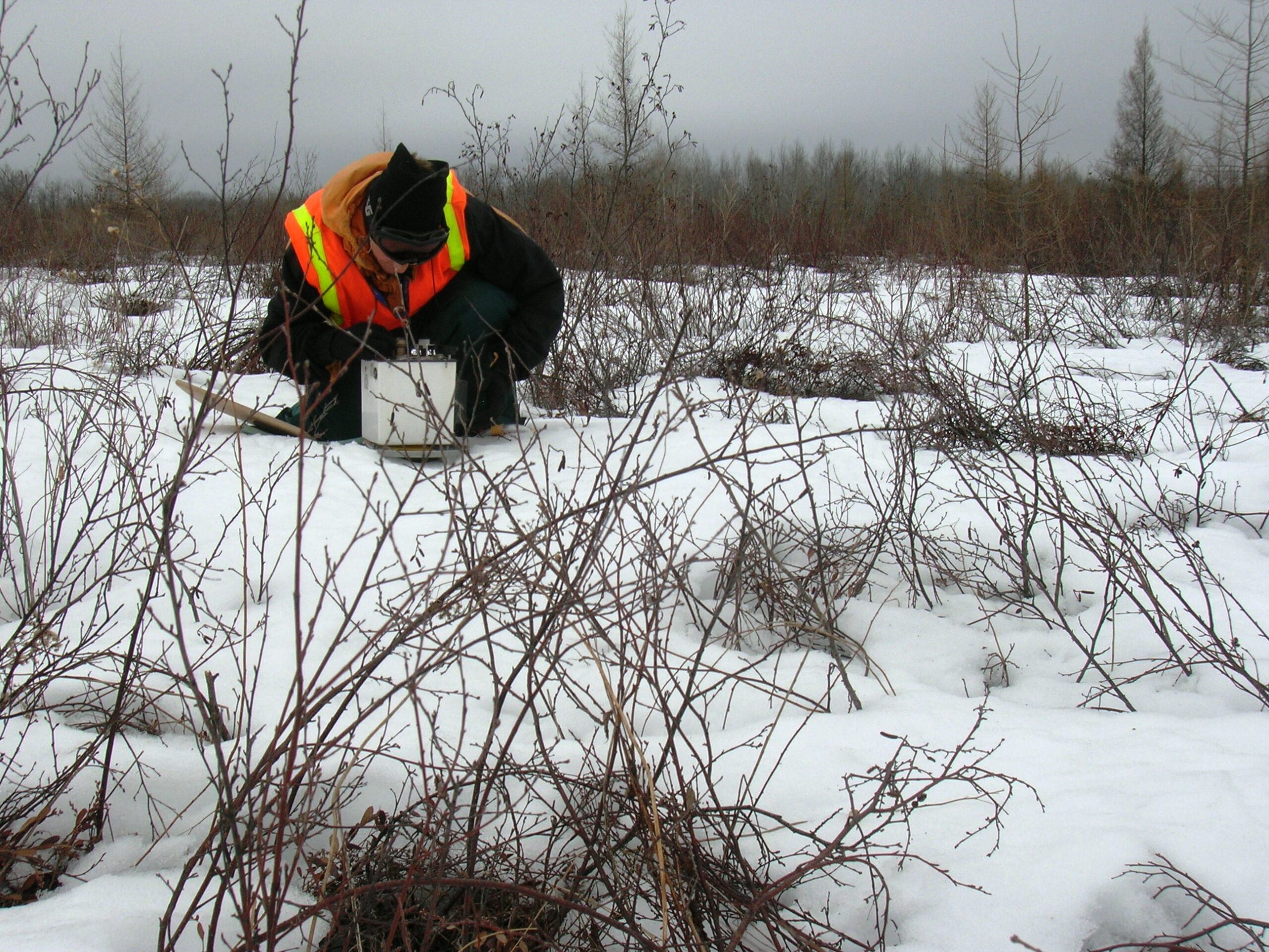
Magee Geophysical Services LLC conducts high-precision land gravity surveys using Scintrex CG5 (0.001 mGal) and Lacoste & Rhomberg Model G (0.01 mGal) gravity meters. These land gravity survey services record variations in Earth’s gravitational field to detect density contrasts and subsurface structure. We use geodetic-grade GPS (real-time and post-processed) for centimeter positioning accuracy.
Our land gravity survey workflows support geophysical inversion services to transform gravity observations into subsurface density models, enabling clearer targets for exploration and monitoring. Some applications include:
Some applications include:
Geophysical Prospecting
We design, acquire, process, and interpret gravity and magnetic data at regional, prospect, and target scales. Processed, reduced, and filtered datasets are used for mapping, basin analysis, and deposit delineation. Our interpretive workflows include 2D and 3D modeling and geophysical inversion services to produce robust subsurface models that inform exploration decisions.
Gravity Networks/Geoid Definition
Accurate gravity measurements are fundamental for determining the figure of the Earth and establishing vertical control. We plan, execute, process, and QA/QC absolute and relative gravity networks to provide datasets suitable for mapping geoid undulations, defining gravity datums, and studying regional isostasy. Gravity network products can be delivered with geophysical inversion services to support regional modeling and geodetic applications.
For examples of our gravity network work, see About Us.
Geothermal Exploration and Groundwater Investigations
We deliver gravity and magnetic datasets and interpretive products that help estimate basin geometry, map controlling faults, and support 2D/3D modeling to identify aquifer and aquitard horizons. Our geophysical inversion services refine subsurface models for geothermal and hydrogeologic targets, improving confidence in resource delineation and well targeting.
Reservoir Monitoring
Using survey-grade GPS and microgravity instruments (0.001 mGal), we acquire time-lapse gravity data with the sensitivity required for reservoir monitoring. Time-lapse datasets can be incorporated into geophysical inversion services to quantify mass changes, fluid movement, and subsurface response over time — supporting reservoir management and verification studies.
Contact us to learn how our land gravity and microgravity capabilities, plus geophysical inversion services, can support your reservoir program.

Ground Magnetic Surveys
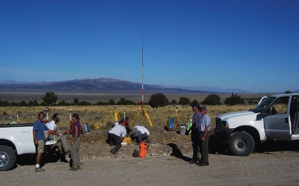
We perform high‑resolution ground magnetic surveys with Geometrics G‑858 Cesium vapor magnetometers (0.001 nT resolution) to record variations in Total Magnetic Intensity (TMI). Our systems minimize environmental and methodological noise and include a continuously operating base magnetometer for diurnal correction and storm monitoring.
Features:
- Differentially corrected GPS (WAAS) integration for real‑time navigation
- Continuous‑mode surveying with sampling rates up to 10 Hz
- Filtering and diurnal correction workflows for high‑quality TMI grids
- Combined gravity + magnetic interpretation to constrain geology and guide other geophysical methods (seismic, CSAMT, IP, EM)
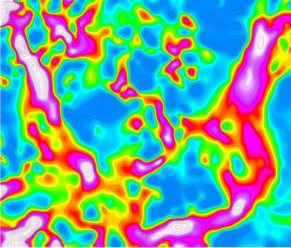
Ground magnetic methods are effective in geothermal, mineral, and oil/gas exploration for detecting and delineating structures, favorable lithologies, and mineralizing environments.
Consulting Services
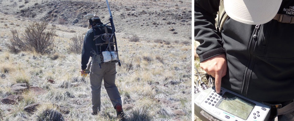
Magee Geophysical Services LLC provides expert consulting from experienced, professional geophysical consultants. Services include:
- Survey design and logistical planning
- QC/QA and field supervision
- Data merges, reprocessing, filtering, and interpretive product generation
- Personnel training and on‑site mentoring of local teams
We also support geophysical inversion services and interpretive modeling as part of our consulting engagements. Contact us to discuss a tailored consulting scope for your project.
Other Services
Data Processing
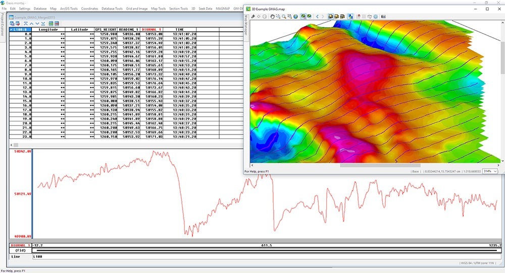
We perform daily, in‑field data processing immediately after acquisition to deliver timely, high‑quality results. Gravity data are processed in Geosoft Oasis Montaj and reduced to the Complete Bouguer Anomaly (CBA) using standard procedures. We use survey‑grade GPS, local slope measurements, 10m/30m USGS DEMs, and merged proprietary elevation data to compute accurate terrain corrections across local, intermediate, and far‑field zones.
Outputs include:
- Color‑contoured CBA grids and maps
- Standard derivatives: regional/residual separation, vertical derivative, horizontal gradient, analytic signal
- Raw magnetic data filtered and diurnally corrected with Magmap2000, then imported into Oasis Montaj for advanced noise removal and gridded TMI products
- Reduced‑to‑pole transformations and combined gravity‑magnetic interpretive products
Our processing workflows support geophysical inversion services and deliver ready‑to‑model datasets for 2D/3D inversion and interpretation.
Exploration Grids and GPS Services
We establish accurate exploration grids for geophysical and geochemical surveys (soil, seismic, electromagnetic, magnetotelluric) and provide GPS services, including centimeter‑accuracy drillhole location surveys and calculation of local site transformations to known datums.
For project inquiries, timelines, or to request a proposal, contact Magee Geophysical Services LLC — your partner for reliable land gravity survey services, ground magnetic surveys, geophysical inversion services, and expert consulting.
Worldwide Experience
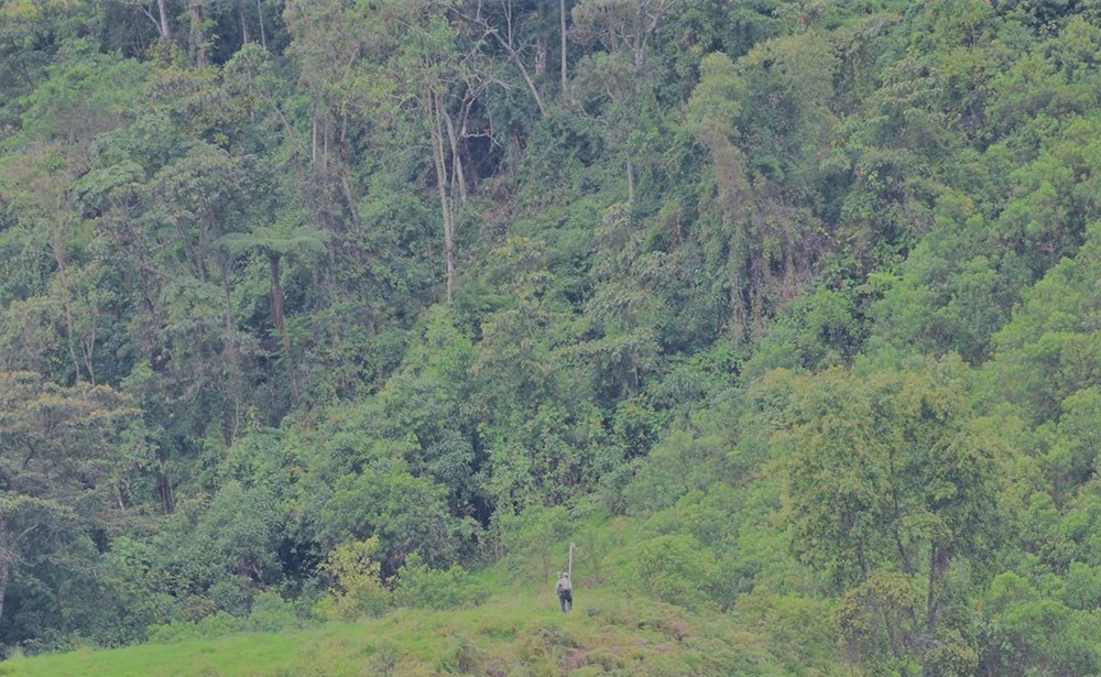
With experience in over 40 countries worldwide, we have the resources and crew to tackle any job, regardless of its geographic location.
- Canada
- USA
- Mexico
- Dominican Republic
- Belize
- Jamaica
- Guatemala
- Costa Rica
- St. Lucia
- Sudan
- Kenya
- Tanzania
- Zimbabwe
- Zambia
- Somalia
- Morocco
- Congo
- Malta
- Oman
- United Arab Emirates
- Pakistan
- Kurdistan Region of Iraq
- Thailand
- China
- Papua New Guinea
- Indonesia
- Australia
- Norway
- United Kingdom
- France
- Germany
- Spain
- Romania
- Serbia
- Kingdom of Saudi Arabia
- Cypress
- Colombia